
Accident Maps
Pipeline Accident Maps - National Pipeline Mapping System
Pipeline accidents are geospatially located in the National Pipeline Mapping System (NPMS) Public Viewer. Via the mapping system, users can query basic information about the accident, the pipeline operator, and the commodity released.
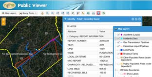
Figure 1: Screen shot from NPMS provides an example of the available information
Accident Heat Maps
Pipeline "heat" maps graphically depict the density of hazardous liquid accidents and gas transmission incidents. PHMSA's Pipeline Data Visualization page contains gas transmission and hazardous liquid heat maps.
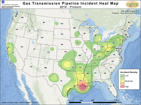
Figure 2: Incident Density of Gas Transmission Pipeline Incidents

Last updated: Tuesday, July 15, 2025